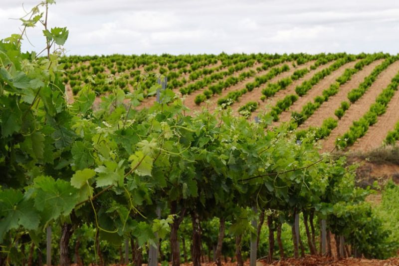
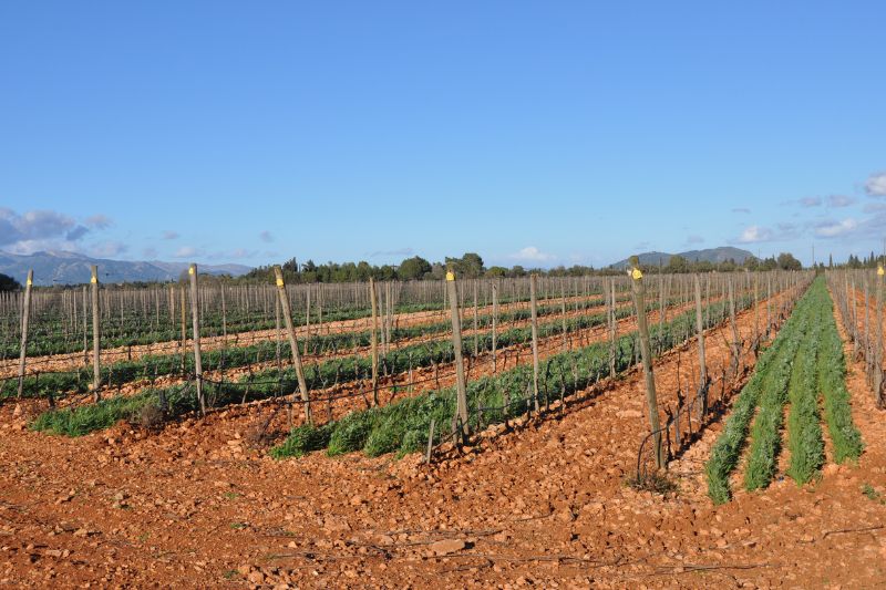
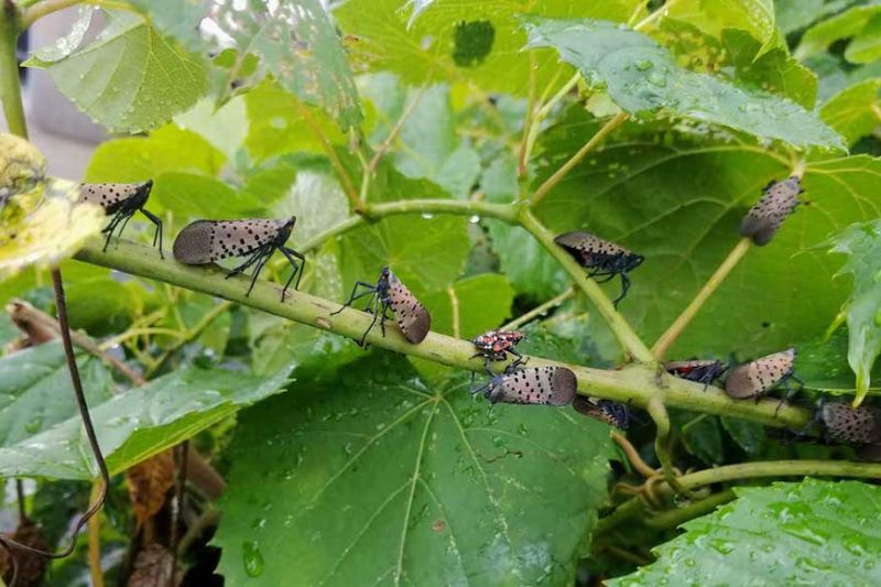
Located in the Regional Unit of Chania, the Municipality of Platanias extends from the Gulf of Chania towards the mainland and the northwesternmost fringes of the Lefka Ori mountain range. Its coastline is one of the most popular touristic destinations in the region. Within its borders NATURA 2000 protected areas are included, (i.e Fasa valley, Keritis stream, the entrance to the Samarian Gorge), while key issues for viticulture are land fragmentation (93.1% of the vineyars are ~0.3ha) and land use change.
Basic info:
Total land area:
49,100 ha
Utilised agricultural area:
19,445.12 ha
Total area of vineyards:
451.1 ha
Grape varieties:
Romeiko, Cabernet sauvignon, Fokiano, Syrah
Area of organic vineyards:
3,6 ha
Number of vineyards:
3,109
Number of winegrowers:
More than 2,000 registered; estimated ~ 250
Number of wineries:
7
Average annual grape yield:
5,000 t (estimation for 2019.)
Average annual quantity of wine:
3,000 t (estimation for 2019.)
Pilot Area: Municipality of Platanias (EL)
Municipality of Platanias (EL)
×
Geocoding Error Occured.
Tried to Geocode:
Error Type:
Please be sure to follow the tutorial on how to setup the Google APIs required for the Advanced Google Map Widget.