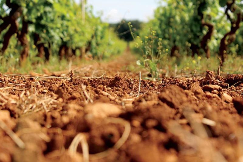
Soil quality control is important to prevent degradation, contamination, and loss of fertility. Trough periodic surveys according to recognized methods, the changes induced by natural phenomena or by human action are follows. The availability of GIS databases is a necessary pre-condition for the development of a soil monitoring system. Using these databases with appropriate processing, it is possible to derive information on the risk of erosion, the content in organic matter, diffuse contamination, compaction, and salinization, depending on the characteristics measured.
Menu

